Shinfield village lies to the south of the M4 motorway. To the east of the parish the land slopes down towards the flood plain of the River Loddon and the fields that flood regularly have led to the name Shinfield, a derivative of “Shining Fields”.
The earliest known settlement at Shinfield was in Anglo-Saxon times and is recorded in the Domesday Book. Shinfield had good farmland with a mill and fisheries on the River Loddon and was chosen as the site for St Mary’s Church, a Grade I listed church and the oldest building in the parish. It was built at the command of King William I in the eleventh century after the Norman Conquest and in 2019 it celebrated 950 years since its foundation.
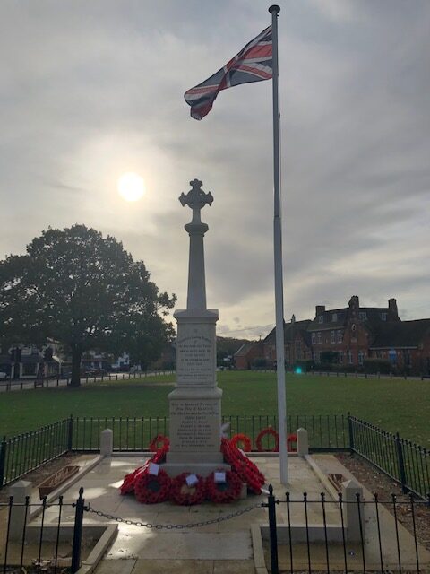
The School Green War Memorial is a stone Celtic cross, with the arms of the cross ending in the style of a cross fleury. It stands on a slim pillar on a double plinth and a two-stepped base. Names of the fallen of World War I and a dedication are inscribed on the higher plinth, a dedication and the names from World War II on the lower. It stands on a paved area on School Green in the centre of the village.
First World War (1914-1918)
Second World War (1939-1945)
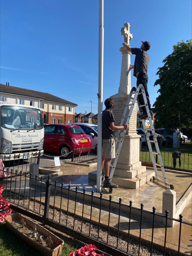
Shinfield Parish Council maintain and clean the memorial in prep for remembranvce each year
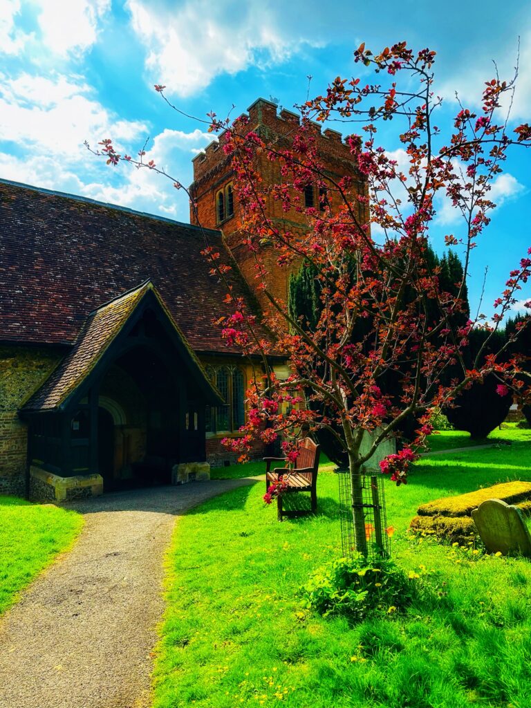
St. Mary’s Church has been restored, but still retains a Norman doorway and a 17th century tower of patterned brickwork. The fine old timbered roofs of the nave and south aisle are of interest, as are two seventeenth-century wall monuments with sculptured figures kneeling in prayer. There is evidence that the original settlement of the village was around the church and remained there into medieval times.
There are six war graves at St. Mary’s Cemetery from the 1st and 2nd world war.
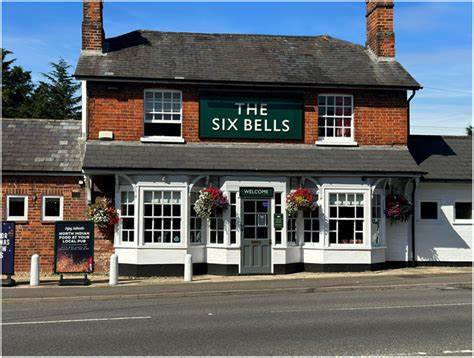
The Six Bells pub was originally next door to St. Mary’s church. At about the time the sixth bell was added to the church tower in 1830 the drinkers became so noisy that the pub was banished to the bottom of the hill to where it now stands and took the name The Six Bells.
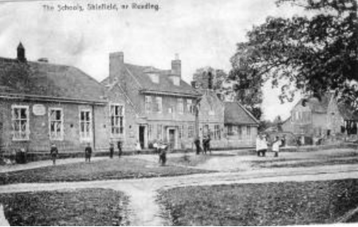
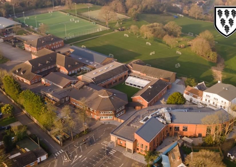
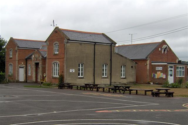
School Green Shinfield grew from the late Victorian period, around an old common where, in 1707, Richard Piggott, a local boy who had become a cutler of Westminster, founded the School, now Shinfield St. Mary’s Infant School). The Junior School is in Chestnut Crescent on the opposite side of the green..
School Green Today
School Green 1707
Shinfield Juniors
Crosfield’s School History since 1957. Formed as a non-profit making trust with its own board of governors, it was a single-sex boys’ school named after a former governor, Hugh Crosfield, who had been killed in an air raid during the Second World War. With around 100 pupils when the school opened, class sizes were just 10 to 12 boys each.
Public Houses
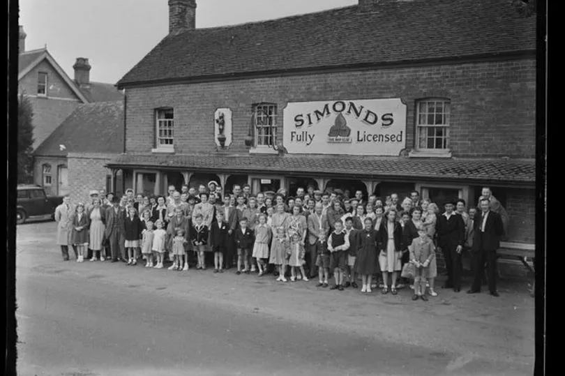
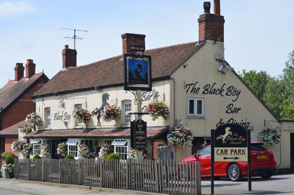
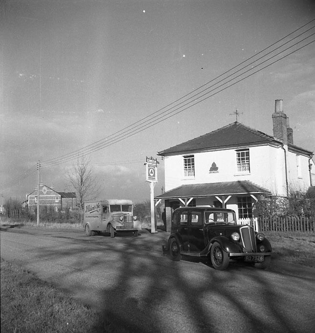
Families at Simonds Public House in 1951 (renamed to the Black Boy).
The Black Boy Pub was renamed to The Shinfield Arms in 2021.
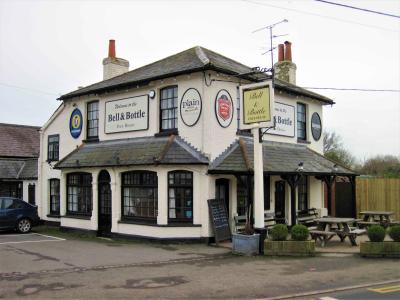
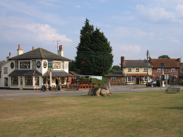
The Bell & Bottle Public House built in the early 1900’s
as it stands today
The Royal Oak Pub used to be situated next to the Bell & Bottle until 2014, it is now home to a Co-op supermarket
Spencers Wood
The earliest confirmed reference to the name ‘Spencers Wood’ dates from 1500, when a man named John Blunt left 3s 4d for the repair of a road through the wood called Spencers Wood. Spencers Wood stands on a ridge overlooking the Kennet and Loddon river valleys. A fine avenue of Wellingtonia conifers at Stanbury Park is also an attractive and listed feature of the landscape.
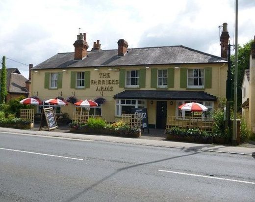
The local pub is called The Farriers’ Arms, although it was briefly called The Cygnet when it was purchased by the owner of The Swan (a pub in neighbouring Three Mile Cross). Before the Swallowfield Bypass was built, it was a popular place for coaches to stop on their way to the south coast.
Spencers Wood Village Hall was built in 1911 and is run as a non-profit making registered charity. The aim is to maintain and develop the use of the hall so that it provides a top class facility for people in the local area to enjoy a range of activities, and to enable private hire.
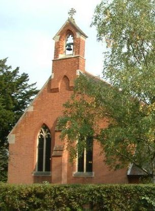
St. Michaels and All Angels church in Spencers Wood serves a large and growing community including the former parish of Grazeley. The church was built in 1908 on land given by Henry Lannoy Hunter of Beech Hill who also made a substantial contribution to the building costs. A stone inscribed to his memory can be found in the church.
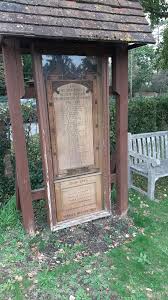
Spencers Wood War memorial – A Wooden plaque with 32 names from WW1 and 4 from WW2
Spencers Wood library is part of Wokingham Borough Council’s Libraries.
The building was originally an infants’ school funded and built in 1890 by local landowner Frederick Allfrey whose initials appear over the door. From 1941 to 1947 it was a wartime feeding centre after which it was taken over by the Library Service.
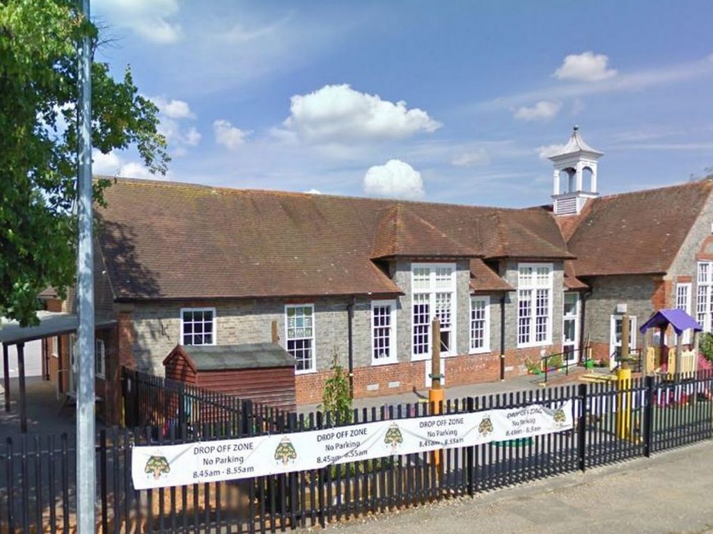
Lambs Lane Primary School, Spencers Wood, opened in 1908 and is a Community school maintained by Wokingham Borough Council. It caters for up to 210 children between the ages of four and eleven.
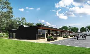
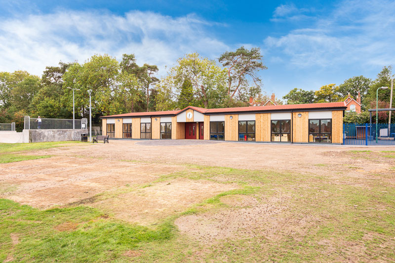
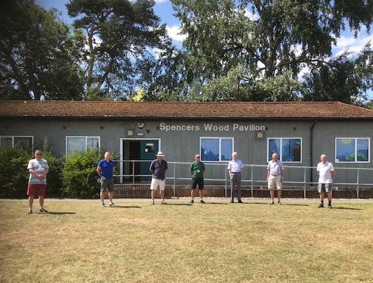
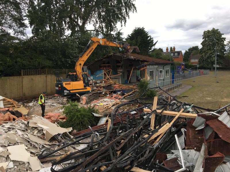
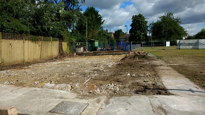
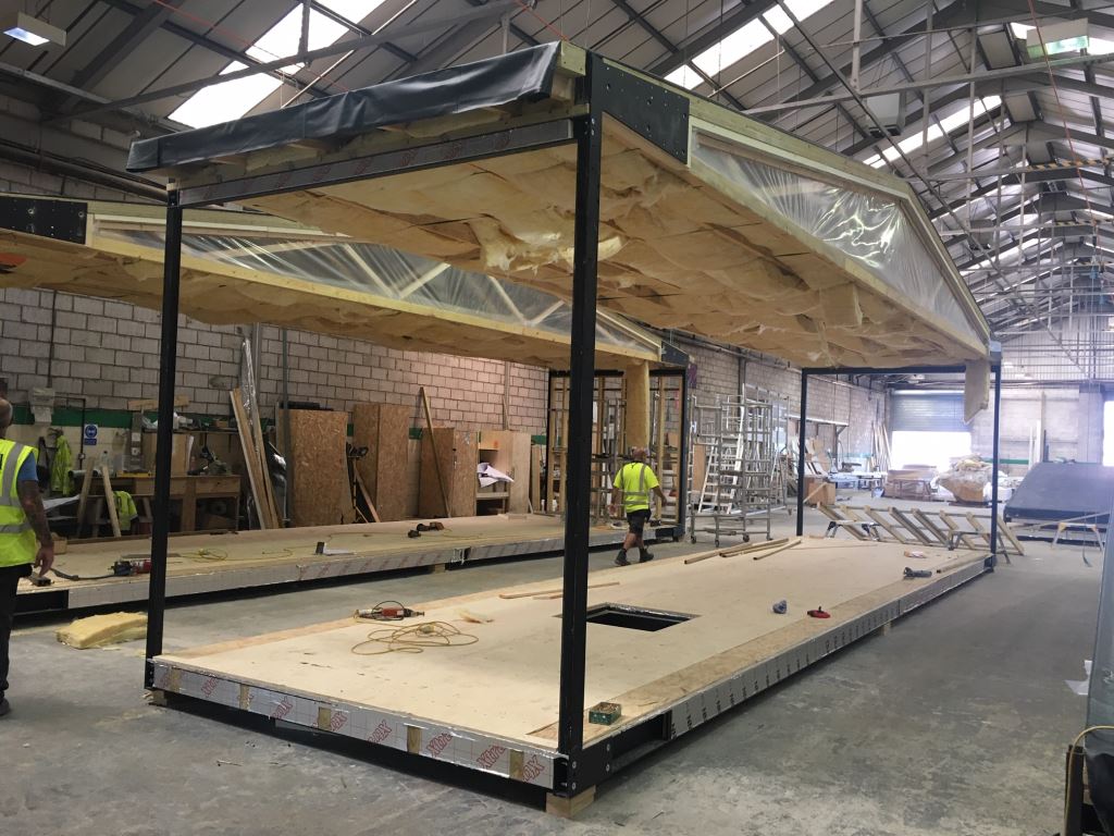
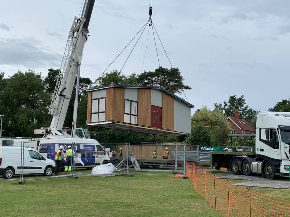
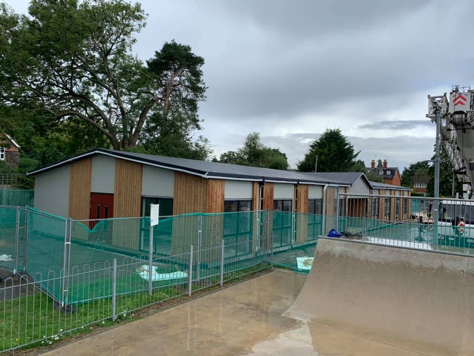
The pavilion was replaced in 2020 with a modern modular building.
Spencers Wood Pavilion houses the Shinfield Voluntary Car Service, previously the Youth Club and other community activities.
It also houses Chapel Lane Preschool for children from the term starting after their third birthday until they are five years old.
Ryeish Green
Ryeish Green is a small hamlet located next to Spencers Wood and is generally considered a part of that village. The only road in the hamlet is Hyde End Lane.
Oakbank School in Ryeish Green is a secondary, inclusive, non-faith school serving the local community. As a free school, Oakbank is funded directly by central government and run separately from the local authority. It broadly follows the national curriculum and, like any other school, is inspected by Ofsted. The school opened in September 2012 and has grown organically with a four form entry each year to over 400 students.
Ryeish Green Sports hub has 45 gym stations, a 4 court sports gym, full size artificial 3G Football Pitches, Changing rooms, a Community Room.
It also provides a programme of healthy activity for all ages including the over 60’s,
Three Mile Cross
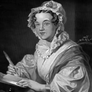
Three Mile Cross is best known as the home of the famous 19th-century author, Mary Russell Mitford who wrote a five-volume book of literary sketches entitled Our Village which is a series of stories and essays largely about the setting and people of Three Mile Cross.
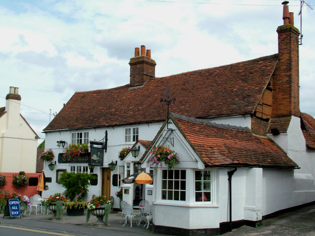
The Swan Inn, Three Mile Cross, is a traditional 17th Century pub which started life as three timber-framed artisan’s cottages. Some 50 years later two of the dwellings became used as an alehouse known as The Globe Inn
Three Mile Cross is also home to a successful 100 membership bowling club.
The club is a lawn green bowling and club was formed in 1938 and celebrated its 80th year in 2018.
Wesleyan Methodist Chapel built 1860 – is now a family home
Shinfield North or Rise
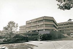
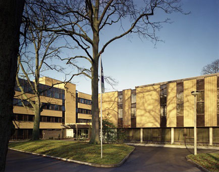
Shinfield North contains the European Centre for Medium Range Weather Forecasting at Shinfield Park. It began life as an RAF weather forecasting unit during World War 2. Nearby is a striking building that was formerly Shire Hall, the seat of the now defunct county council.
The late Queen Elizabeth II opened Berkshire’s newly built Shire Hall in Shinfield Park in April 1982. As of 2025, the Old Shire Hall Building has been demolished, making way for a buiness park.
Old Shire Hall Building
European Weather Centre
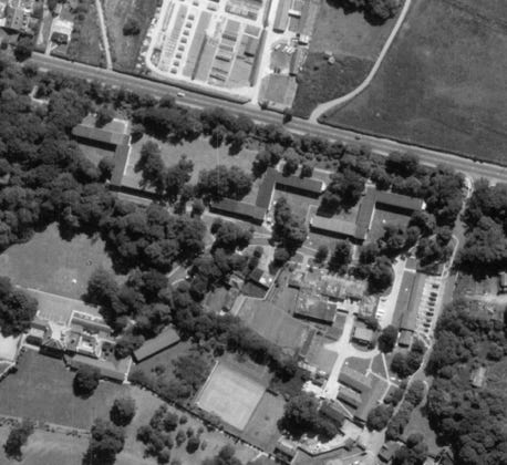
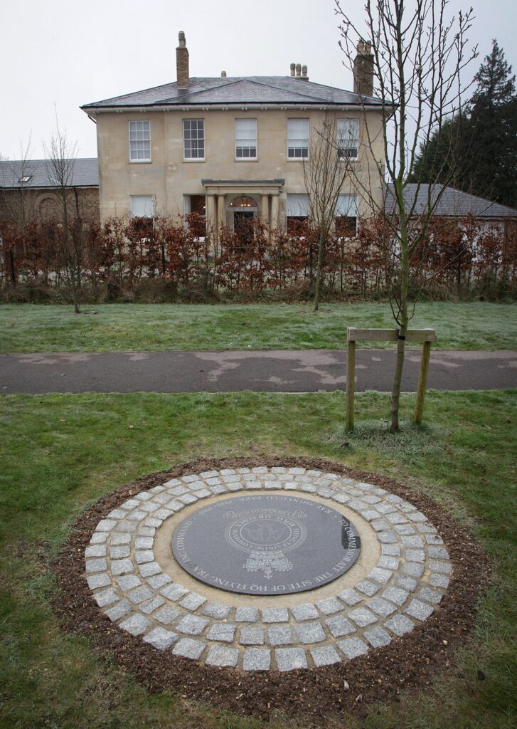
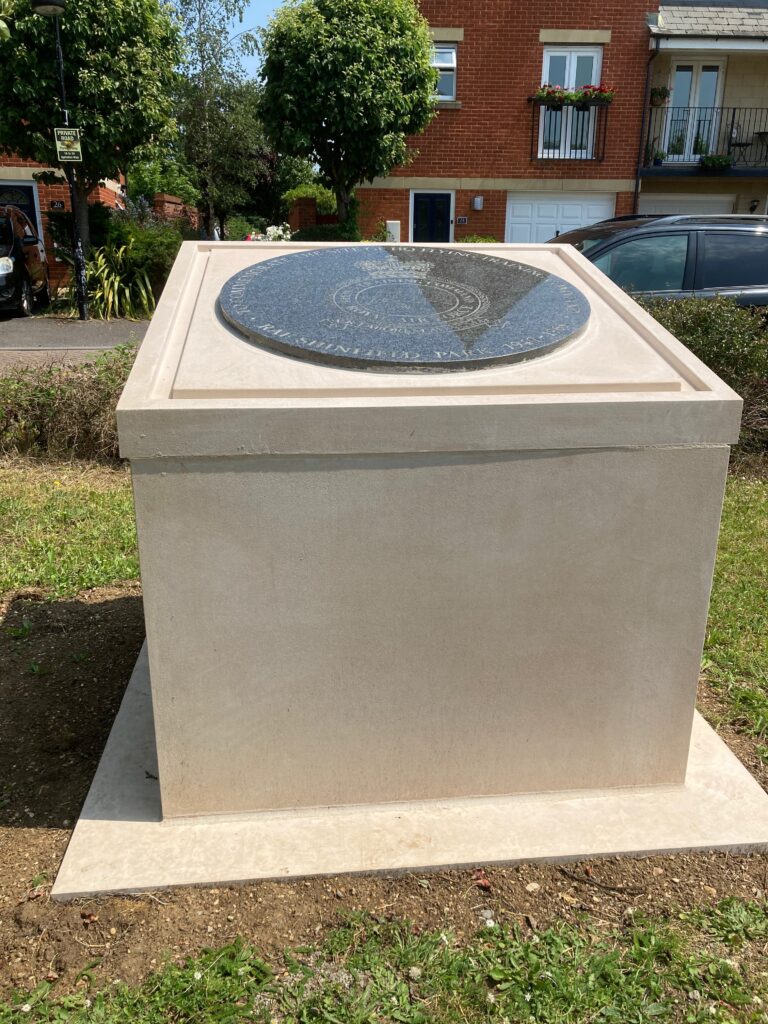
RAF Shinfield Park was located in the north of Shinfield Parish in the Unitary Authority of Wokingham District. The camp was the home of RAF Flying Training Command (RAF FTC) from 1940 until 1968. It then transferred to the Meteorological Office College from 1971 until 2002. The European Centre for Medium Range Weather Forecasting remained on the site but the rest was converted to residential housing. Immediately before and after RAF FTC was in existence, RAF Training Command was in control of Technical (Ground) and Flying training then subsequently passed the reins on to RAF Strike Command from 1977.
Ariel view of camp
Memorial plaque before it was raised
Memorial plaque raised and ceremony held on 13th June 2023
Grazeley
Grazeley is a small village to the east of Spencers Wood. To the west are Grazeley Green and Wokefield and to the south is Beech Hill. The name first appears as Grazeley around 1598 and is derived from the Anglo-SaxonGriesley meaning grazing land
Agriculture is the dominant feature of the village and the surrounding area.
Grazeley Parochial Primary School was built in 1861 at a cost of £442 16s 9d, initially to accommodate 100 pupils.
Grazeley Village Memorial Hall features a large hall, which has an excellent wood block floor, is ideal for celebrations, dancing, yoga and other indoor activities and is capable of seating 100 people.
There is a controversial proposal to build a 15000 home eco-town in Grazeley as part of the Wokingham Borough Local Plan. The plan promotes the belief that a new town will focus development within one key area, defending other parts of the borough from overcrowding. Not everyone shares this view and there are questions about the suitability and isolation of the area, infrastructure costs, some tendency toward flooding and proximity to the nearby Atomic Weapons Establishment and its evacuation criteria.
Grazeley Primary
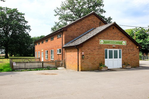
Grazeley Village Hall
AWE
For more information on the history of our parish, visit;
Content sourced & written by the late Shinfield Parish Cllr Edward Brown and Lynda Hope If you have additional information on our parish's history, please contact lynda.hope@shinfieldparish.gov.uk
We’re delighted to introduce our new loyalty scheme at the Tin Roof Café. Designed to thank our regular customers, the scheme allows visitors to collect
1. Casual cafe weekend staff wanted for special events Tin Roof Café is looking for enthusiastic and reliable casual staff to help during special events
For the first time, we’re screening a National Theatre Live with subtitles and reduced sound levels, helping to create a more comfortable and inclusive cinema